
Friday March 30th: Washington ![]() Idaho
Idaho ![]() Montana
Montana
630am – Leaving our House in Kenmore, WA. We leave in rainy weather. Let’s see how fast we get to the dry part of the country. We plan to drive along a large part of the I-90 Interstate highway, the longest in the United States (3,101.77 miles (4,991.81 km) connecting Seattle to Boston. It will take us all the way to Pennsylvania where we will leave it and go south to Maryland.

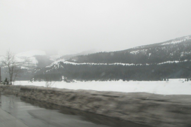
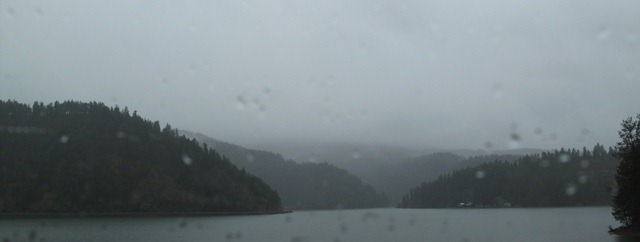
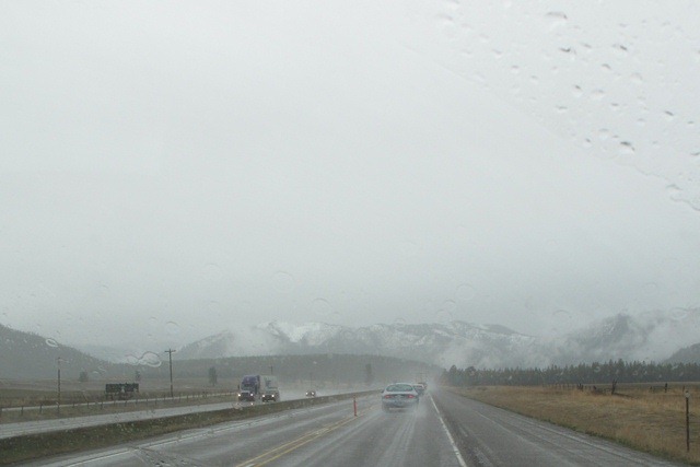
725am – We have crossed the Cascades and drive along Keechelus Lake, where the snow is fresh but the rain as well. Mountain Range #1 is taken. 3 more to go to cross the country.

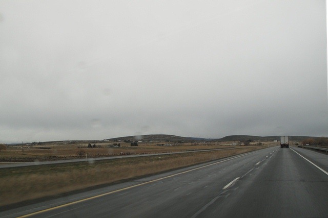
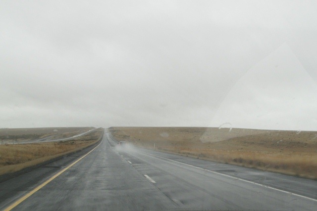
754am – Leaving the snow behind us we drive into the flatlands of Eastern Washington behind in the rain shadow of the mountains. Still very cloudy though.
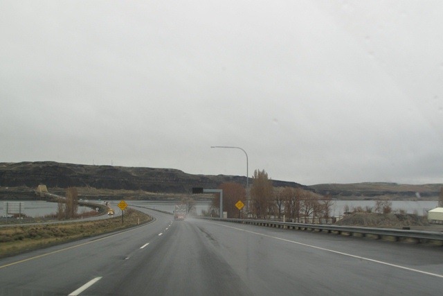
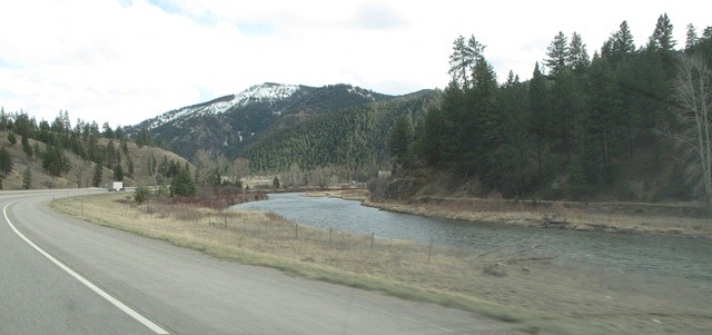
About an hour later we cross our first big river, the The Columbia River. We will cross a few more big ones like the Ohio, the Missouri and Mississippi in the coming days.

The view from the other side of the gorge is amazing. It looked like below but I found a picture without clouds ![]()

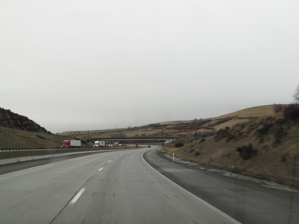
838am – Lamar just woke up. It’s time to re-fuel and take a break. Ahead is a stretch of 200 miles of Eastern Washington flatlands till the Rocky Mountains start in Idaho.

1030am – Oops…I’m speeding and didn’t see that guy with his flashing lights behind me…13 miles over the 70 mile limit…$144 bucks…damn those stretches of straight highway…

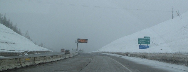
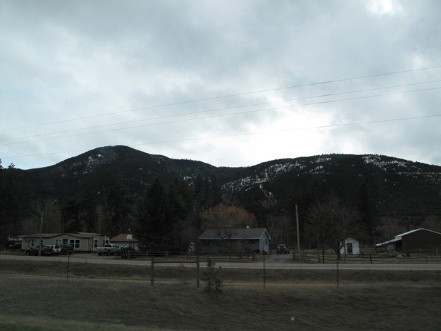
1203pm – We enter Idaho around noon and will be in this state for about an hour. Finally a change of scenery again with some lakes and forests leading into Glacier National Park.
106pm – Well, it’s actually 206pm now. We cross the time zone from Pacific to Mountain time. This is also one the two “exit 0” signs in the US.
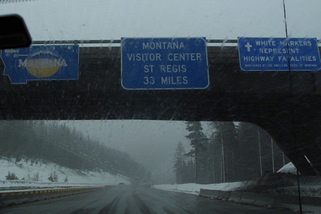
209pm – We enter Montana and from here we go to lower altitudes. No sign of dryer weather though.
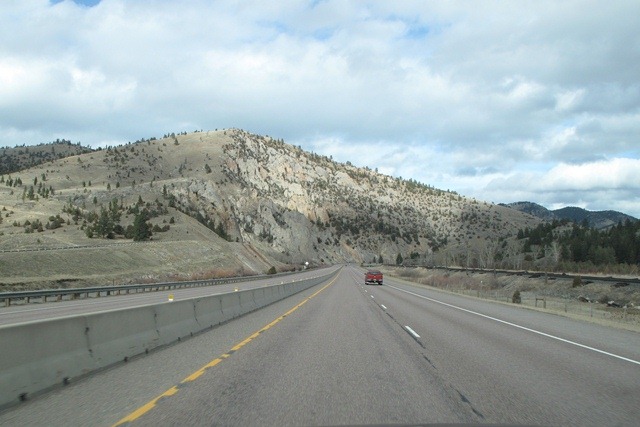
350pm – The clouds finally start to move out of the way. That’s great so we can speed up a bit faster and get through the 555 miles (894km!) that we have to drive through Montana.
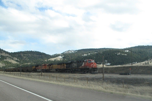
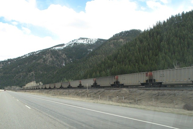
4:06pm – We have been driving along railroad tracks for most of our route so far, and now we finally encounter a train. These are tracks that are part the Northern Pacific Railway that played a crucial role in opening up the West Coast of the United States. After the locomotive passes us it takes literally several minutes on ongoing freight wagons to pass….it seems it has no end to it. There must have been almost hundred of them…
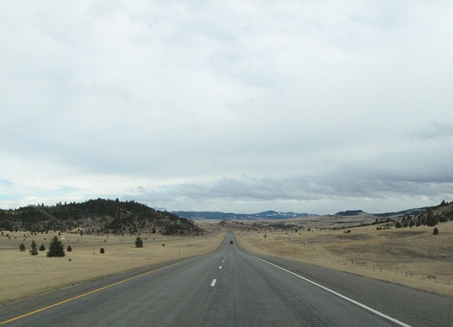
515pm – With the Rockies behind us we now pass the Continental Divide. This is the hydrological divide of the Americas that separates the watersheds that drain into the Pacific Ocean from those river systems that drain into the Atlantic Ocean

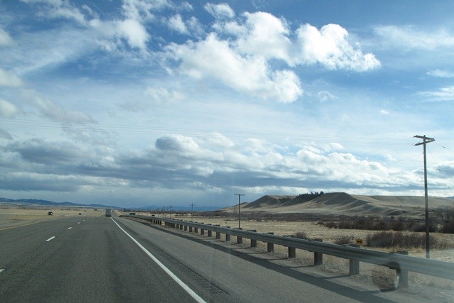
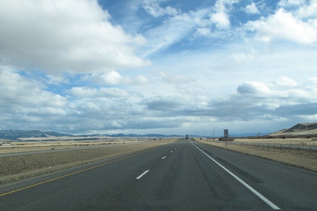
520pm – Now it’s driving downward again. Need to make haste to make it to our planned stop before dark. It’s clear why Montana is called the “Big Sky” state.
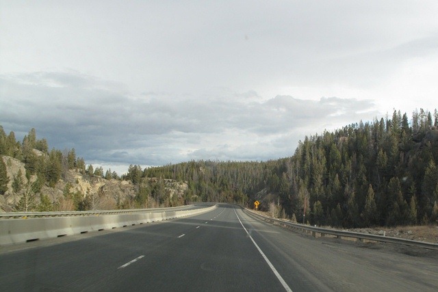
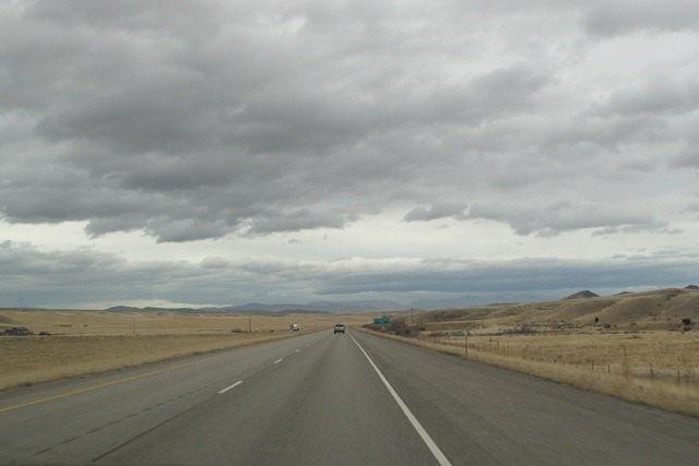
More Big Skies…one picture for every 2 hours that we drove trough this same scenery.
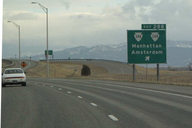
600pm – We pass a cool sign. It confirms we are driving East. We’ll not go all the way to Amsterdam though, so my blog header photo we’ll have to do….and more Big Skies…
700pm – We have a burger in the local sports bar of the Montana State University Bobcats in Bozeman (new addition to the Pac12 who will now play the UW Huskies every year….let’s check out the new rivalry…. Around 9pm we decide it time to stop at the Billings Kelly Inn, where we have a great night sleep before the longest stretch.


Ok, that was day one.
We drove 825 out of the 2800 miles. We crossed our first big river and two mountain ranges. We crossed one time zone. 30% done…Time to get to bed and get back behind the wheel tomorrow.
P.S. Sorry for posting this a few weeks late….Day two comes next ![]()
